


Related Products
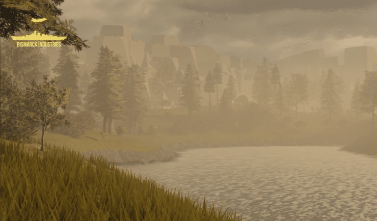
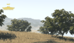
Afternoon Realistic Lake Map
Introducing our Afternoon Realistic Lake Map – a captivating and immersive depiction of a tranquil lakeside scene, bathed in the warm and inviting hues of a late afternoon sun. Whether you're an artist, photographer, nature lover, or designer, this map brings the serene beauty of a lakeside afternoon right to your fingertips.
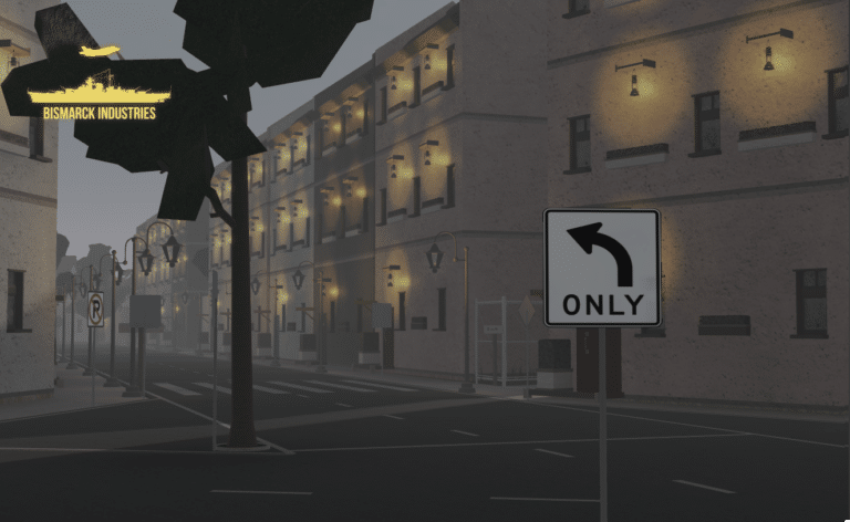
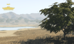
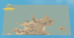
Bastia, Corsica Map
Bastia is located on the island of Corsica, the same Island Napoleon was born on before his rise to glory. This is a lovely feature map built by an incredible developer known as "Enzoneistat". This map has many features, it could be used as a European/French roleplay map or used to simulate apocalyptic-type scenarios. The versatility of this map knows no bounds!
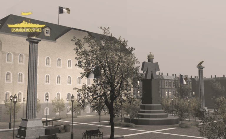
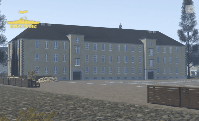
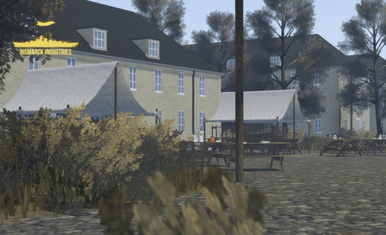
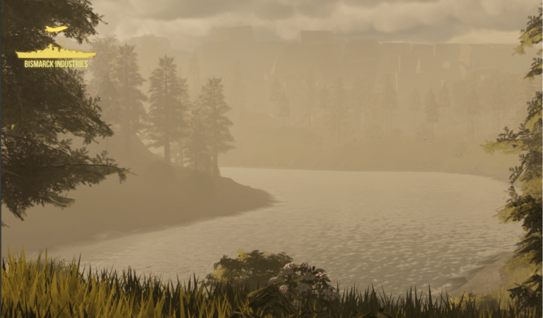
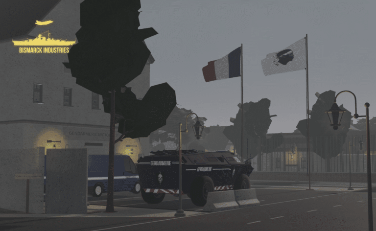
Wroclaw Headquarters Map
Wroclaw Headquarters 1943, located in Wroclaw is a fictional headquarters based off the German occupation of Poland from 1939 to 1945. This map provides a large array of features to any growing or current WW2 German roleplaying groups. Immerse yourself in the rich tapestry of history with this meticulously detailed map.
Reviews
Clear filtersThere are no reviews yet.