


Related Products
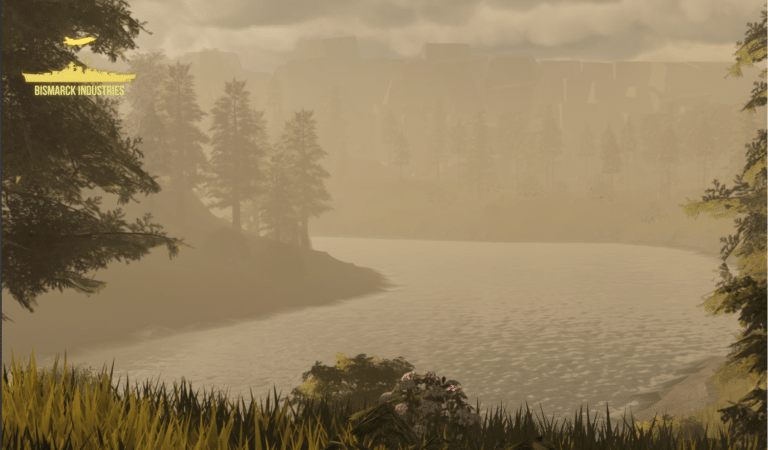
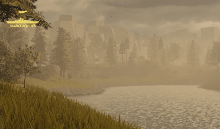
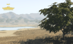
Afternoon Realistic Lake Map
Introducing our Afternoon Realistic Lake Map – a captivating and immersive depiction of a tranquil lakeside scene, bathed in the warm and inviting hues of a late afternoon sun. Whether you're an artist, photographer, nature lover, or designer, this map brings the serene beauty of a lakeside afternoon right to your fingertips.
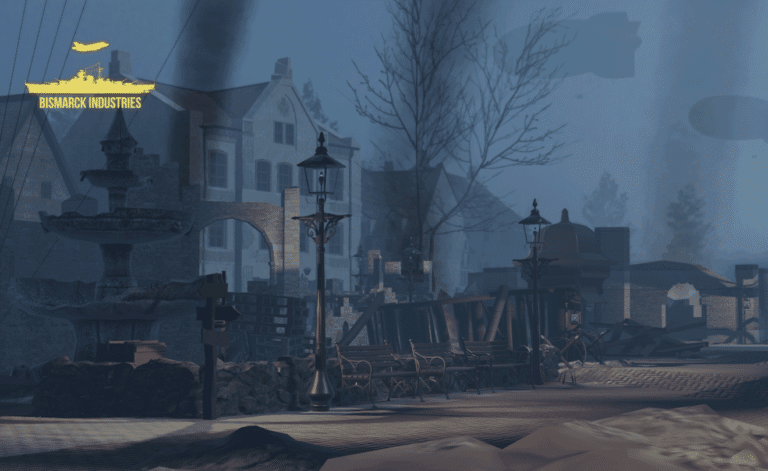
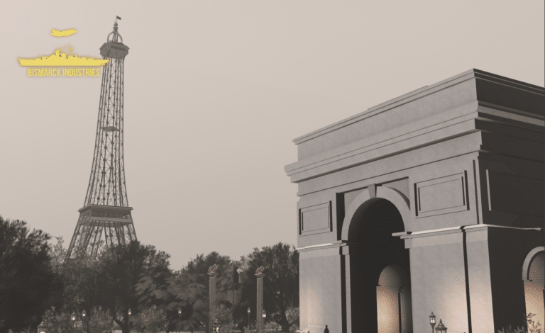
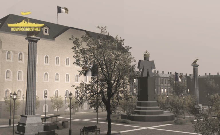
Battle of Ypres 1917 Map V2
Introducing our meticulously crafted Battle of Ypres 1917 Map – a historical treasure that brings one of the most iconic World War I battles to life. Immerse yourself in the past with this detailed map based on Ypres from the 1917 movie, this lovely huge map is wonderful for all your WW1 needs! This is a further add on with increased detail, new locations, expanded town and new trenches.
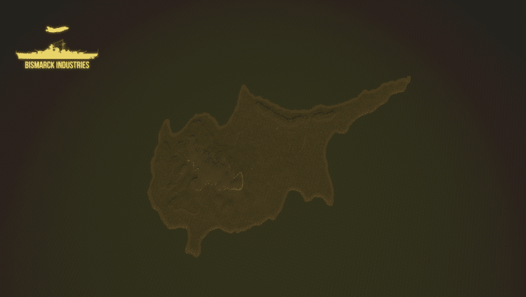
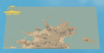
Cyprus Terrain Map
Cyprus is an island located in the eastern Mediterranean Sea. Its continental position is disputed; while it is geographically in Western Asia, its cultural ties and geopolitics are overwhelmingly Southern European. Cyprus is the third-largest and third-most populous island in the Mediterranean. This map is terrain plus decoration only and will need building upon, it is perfect for groups looking for good terrain to build a map upon or cyprus roleplay groups.


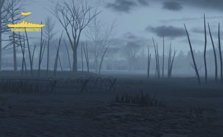
Sudan Terrain Map
Sudan is a war torn country in North East Africa, this piece of detailed and quality terrain is based around South Kordofan State which is located on the border of South Sudan. This area is known to hold many pro South Sudanese communities as well as many within the mountains who fought during the long Civil War. This is just the individual terrain, a full map will be released in the future.
Reviews
Clear filtersThere are no reviews yet.