


Related Products
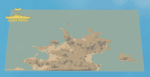
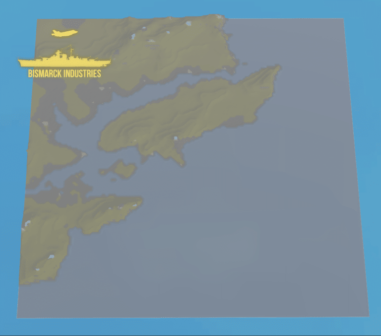
Cyprus Terrain Map
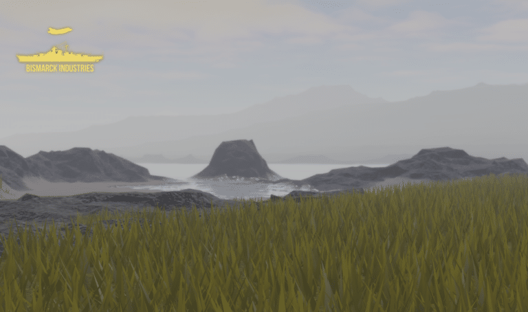
Cyprus is an island located in the eastern Mediterranean Sea. Its continental position is disputed; while it is geographically in Western Asia, its cultural ties and geopolitics are overwhelmingly Southern European. Cyprus is the third-largest and third-most populous island in the Mediterranean. This map is terrain plus decoration only and will need building upon, it is perfect for groups looking for good terrain to build a map upon or cyprus roleplay groups.
Estonia Deployment Map Bundle
The Estonian Republic consists of the mainland, the larger islands of Saaremaa and Hiiumaa, and over 2,200 other islands and islets on the eastern coast of the Baltic Sea, covering a total area of 45,339 square kilometres. The capital city Tallinn and Tartu are the two largest urban areas of the country. These maps are largely based off "Operation Cabrit" which is the name of the UK operational deployment to Estonia where British troops are leading a multinational battlegroup as part of the enhanced forward resistance to Russia.


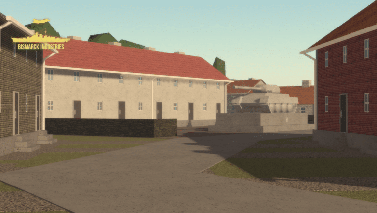
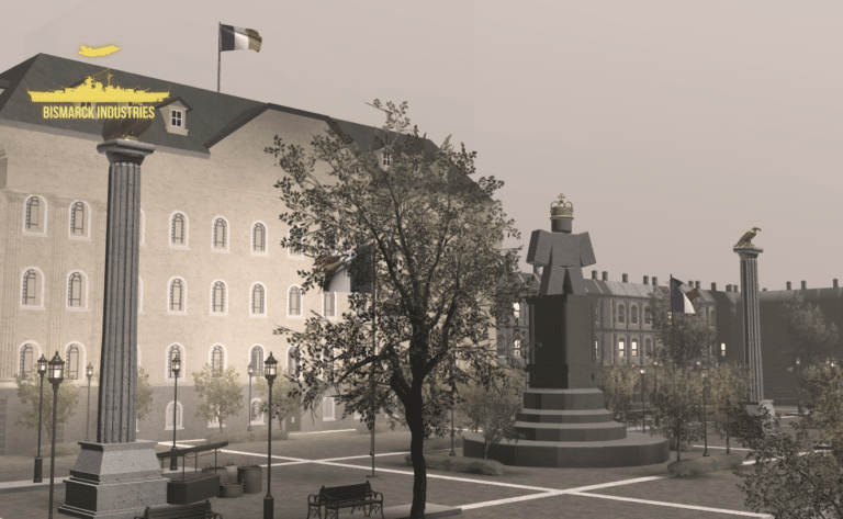
Generic Military Base Map
Introducing our Generic Military Base Map – an essential tool for planners, strategists, and enthusiasts alike. This meticulously detailed map offers a comprehensive view of a typical military installation, enabling users to analyze, strategize, and explore the intricate layout and infrastructure of a modern military base.

Reviews
Clear filtersThere are no reviews yet.