


Related Products
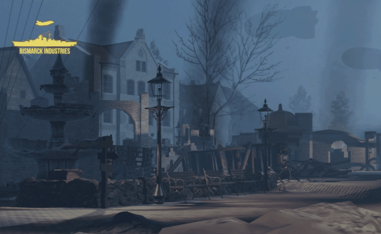
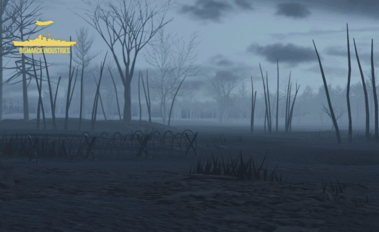
Battle of Ypres 1917 Map V2
Introducing our meticulously crafted Battle of Ypres 1917 Map – a historical treasure that brings one of the most iconic World War I battles to life. Immerse yourself in the past with this detailed map based on Ypres from the 1917 movie, this lovely huge map is wonderful for all your WW1 needs! This is a further add on with increased detail, new locations, expanded town and new trenches.
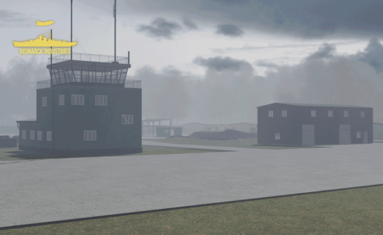
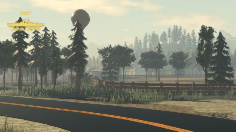
Estonia Deployment Map Bundle
The Estonian Republic consists of the mainland, the larger islands of Saaremaa and Hiiumaa, and over 2,200 other islands and islets on the eastern coast of the Baltic Sea, covering a total area of 45,339 square kilometres. The capital city Tallinn and Tartu are the two largest urban areas of the country. These maps are largely based off "Operation Cabrit" which is the name of the UK operational deployment to Estonia where British troops are leading a multinational battlegroup as part of the enhanced forward resistance to Russia.
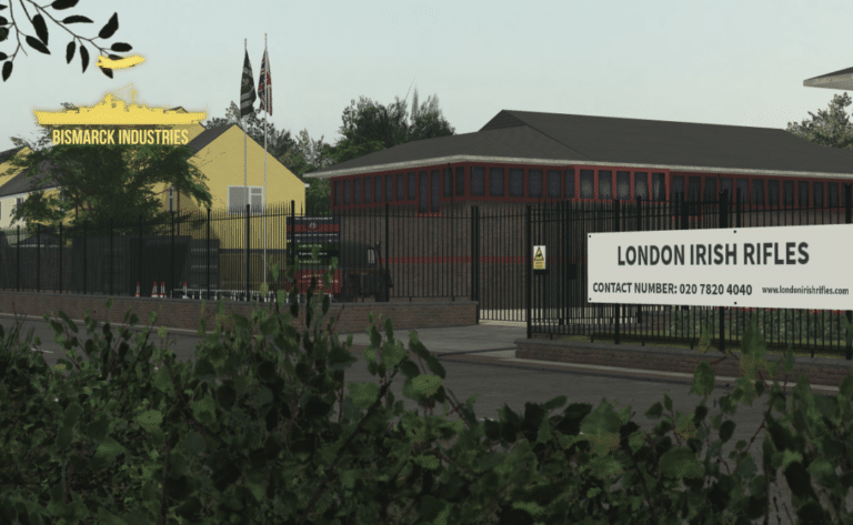
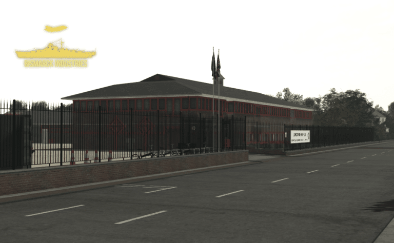
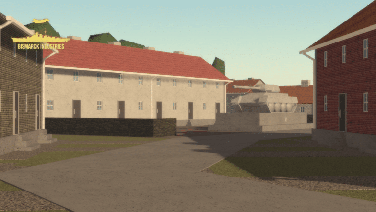
London Irish Rifles Army Recruitment Centre
The London Irish Rifles Army Recruitment Centre is a clean and neat barracks made by an outsourced developer. This is a perfect regimental barracks and recruitment centre, not only for the original regiment of the London Irish Rifles but other British Army activities. Despite this small map size, it would be perfect for all your needs in expanding your British Army orientated group.
Reviews
Clear filtersThere are no reviews yet.