



RELATED PRODUCTS


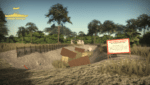
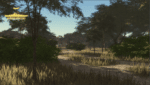
Afternoon Realistic Lake Map
Introducing our Afternoon Realistic Lake Map – a captivating and immersive depiction of a tranquil lakeside scene, bathed in the warm and inviting hues of a late afternoon sun. Whether you're an artist, photographer, nature lover, or designer, this map brings the serene beauty of a lakeside afternoon right to your fingertips.


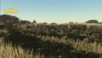
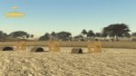
Estonia Deployment Map Bundle
The Estonian Republic consists of the mainland, the larger islands of Saaremaa and Hiiumaa, and over 2,200 other islands and islets on the eastern coast of the Baltic Sea, covering a total area of 45,339 square kilometres. The capital city Tallinn and Tartu are the two largest urban areas of the country. These maps are largely based off "Operation Cabrit" which is the name of the UK operational deployment to Estonia where British troops are leading a multinational battlegroup as part of the enhanced forward resistance to Russia.


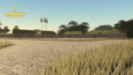
Generic Military Base Map
Introducing our Generic Military Base Map – an essential tool for planners, strategists, and enthusiasts alike. This meticulously detailed map offers a comprehensive view of a typical military installation, enabling users to analyze, strategize, and explore the intricate layout and infrastructure of a modern military base.


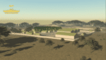
Weihaiwei, North East China Map
Weihaiwei or Wei-hia-wei, on the north-eastern coast of China, was a leased territory of the United Kingdom from 1898 until 1930. The capital was Port Edward, which lay in what is now the centre of Huancui District in the city of Weihai in the province of Shandong. The leased territory covered 288 square miles and included the walled city of Weihaiwei, Port Edward just to the north. Includes custom lighting to match the area.
 Assets
 Berets
 Aviation
 Bundles
 Formal Headwear
 Kit
 Maps
 Maritime
 Marketing Services
 Systems
 Tools
 Uniforms & 2D Assets
 Vehicles
Reviews
Clear filtersThere are no reviews yet.