


Related Products
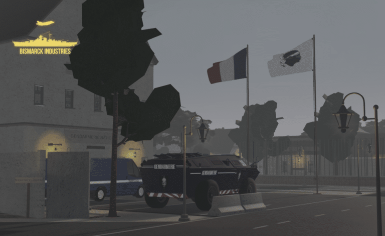
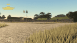
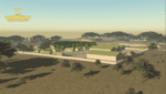
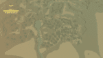
Bastia, Corsica Map
Bastia is located on the island of Corsica, the same Island Napoleon was born on before his rise to glory. This is a lovely feature map built by an incredible developer known as "Enzoneistat". This map has many features, it could be used as a European/French roleplay map or used to simulate apocalyptic-type scenarios. The versatility of this map knows no bounds!
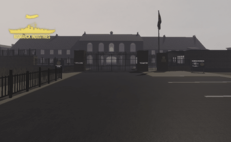


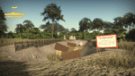
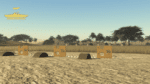
Generic Military Base Map
Introducing our Generic Military Base Map – an essential tool for planners, strategists, and enthusiasts alike. This meticulously detailed map offers a comprehensive view of a typical military installation, enabling users to analyze, strategize, and explore the intricate layout and infrastructure of a modern military base.


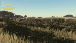
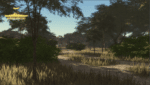
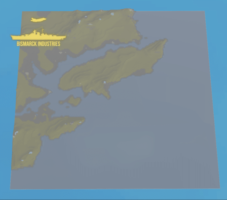
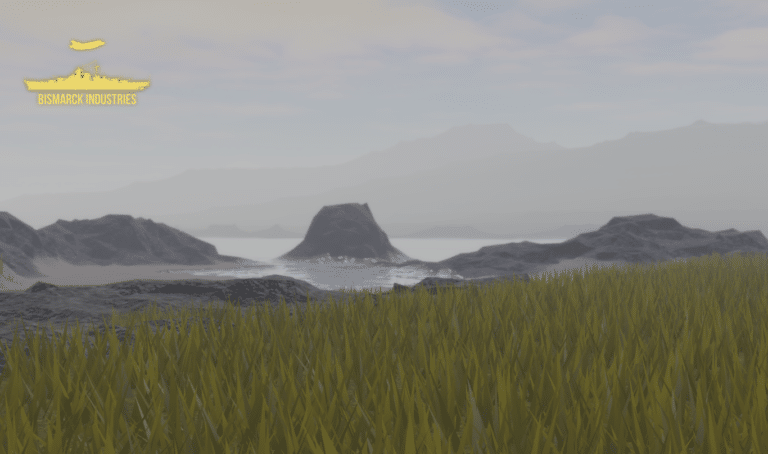
Sudan Terrain Map
Sudan is a war torn country in North East Africa, this piece of detailed and quality terrain is based around South Kordofan State which is located on the border of South Sudan. This area is known to hold many pro South Sudanese communities as well as many within the mountains who fought during the long Civil War. This is just the individual terrain, a full map will be released in the future.
Reviews
Clear filtersThere are no reviews yet.