


Related Products
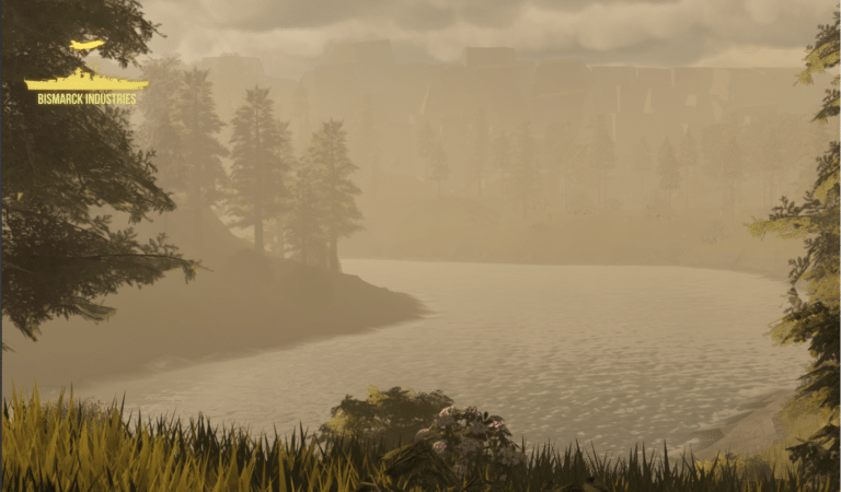
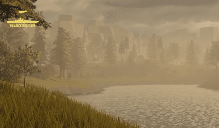
Afternoon Realistic Lake Map
Introducing our Afternoon Realistic Lake Map – a captivating and immersive depiction of a tranquil lakeside scene, bathed in the warm and inviting hues of a late afternoon sun. Whether you're an artist, photographer, nature lover, or designer, this map brings the serene beauty of a lakeside afternoon right to your fingertips.
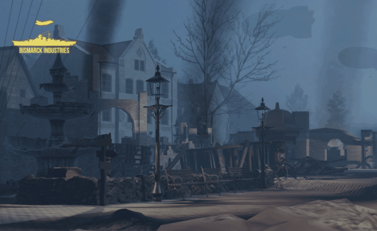
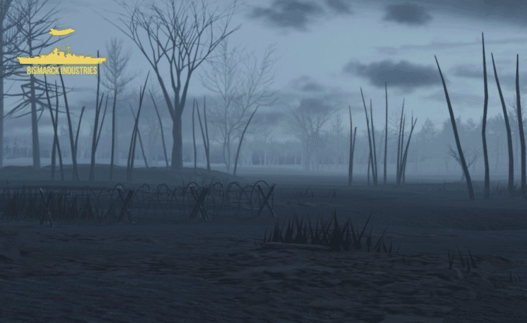
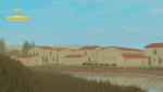
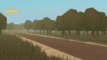
Battle of Ypres 1917 Map V2
Introducing our meticulously crafted Battle of Ypres 1917 Map – a historical treasure that brings one of the most iconic World War I battles to life. Immerse yourself in the past with this detailed map based on Ypres from the 1917 movie, this lovely huge map is wonderful for all your WW1 needs! This is a further add on with increased detail, new locations, expanded town and new trenches.
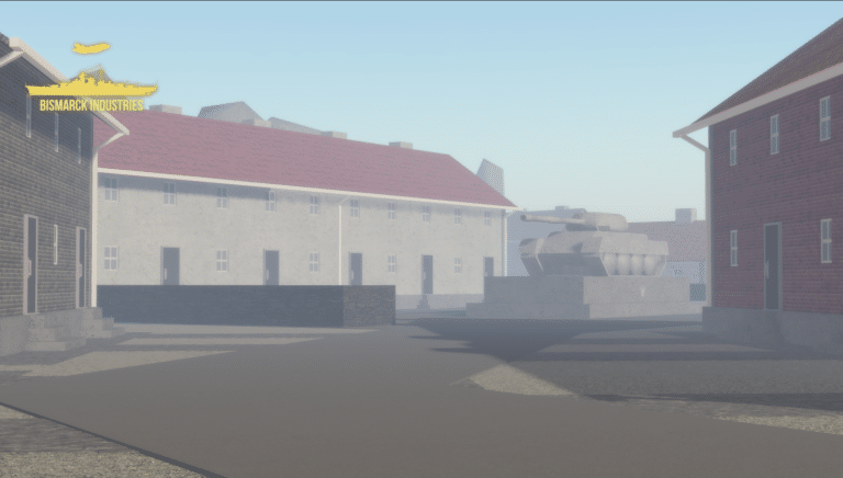
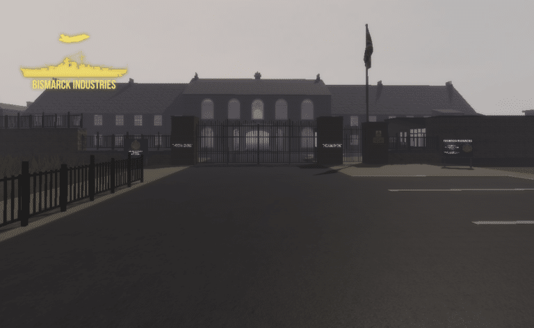
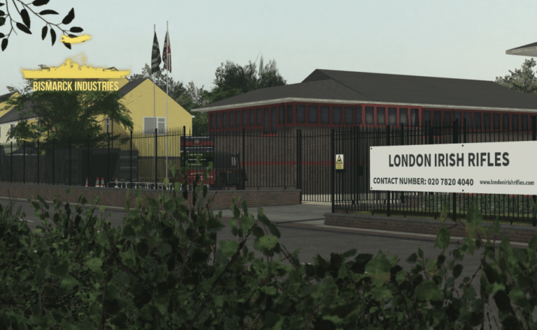
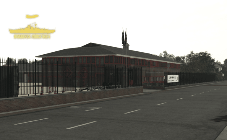
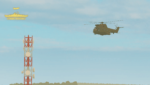
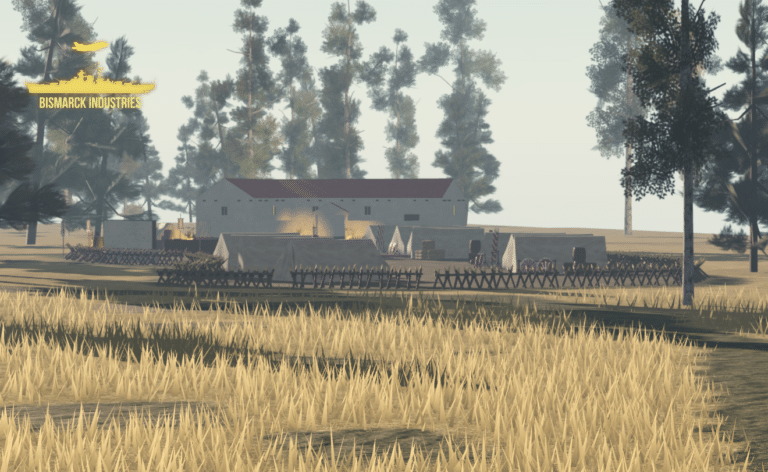
London Irish Rifles Army Recruitment Centre
The London Irish Rifles Army Recruitment Centre is a clean and neat barracks made by an outsourced developer. This is a perfect regimental barracks and recruitment centre, not only for the original regiment of the London Irish Rifles but other British Army activities. Despite this small map size, it would be perfect for all your needs in expanding your British Army orientated group.
Reviews
Clear filtersThere are no reviews yet.