


Related Products


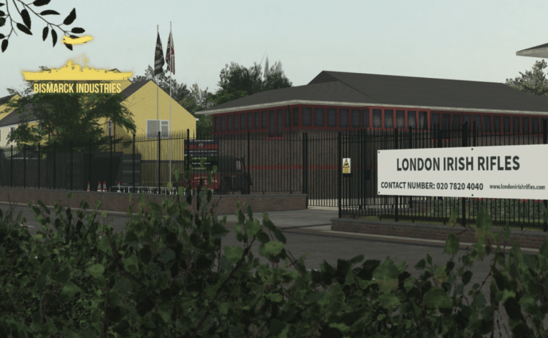
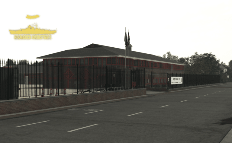
London Irish Rifles Army Recruitment Centre
The London Irish Rifles Army Recruitment Centre is a clean and neat barracks made by an outsourced developer. This is a perfect regimental barracks and recruitment centre, not only for the original regiment of the London Irish Rifles but other British Army activities. Despite this small map size, it would be perfect for all your needs in expanding your British Army orientated group.


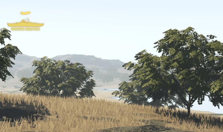
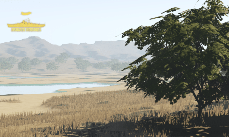
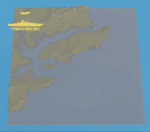
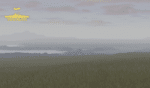
Weihaiwei, North East China Map
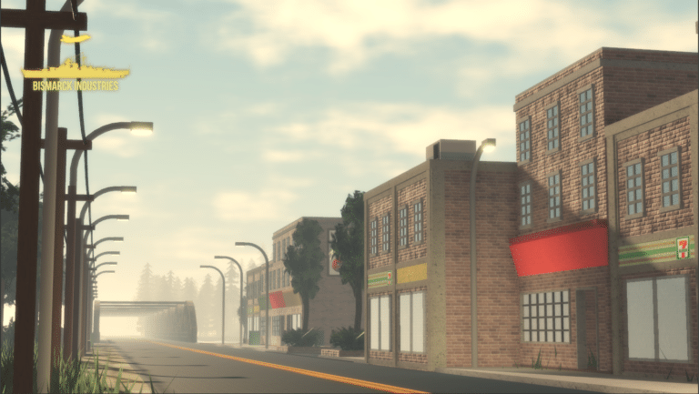
Weihaiwei or Wei-hia-wei, on the north-eastern coast of China, was a leased territory of the United Kingdom from 1898 until 1930. The capital was Port Edward, which lay in what is now the centre of Huancui District in the city of Weihai in the province of Shandong. The leased territory covered 288 square miles and included the walled city of Weihaiwei, Port Edward just to the north. Includes custom lighting to match the area.
Reviews
Clear filtersThere are no reviews yet.