





RELATED PRODUCTS


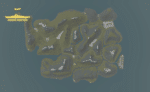
Afternoon Realistic Lake Map
Introducing our Afternoon Realistic Lake Map – a captivating and immersive depiction of a tranquil lakeside scene, bathed in the warm and inviting hues of a late afternoon sun. Whether you're an artist, photographer, nature lover, or designer, this map brings the serene beauty of a lakeside afternoon right to your fingertips.


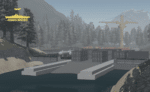
Battle of Ypres 1917 Map V2
Introducing our meticulously crafted Battle of Ypres 1917 Map – a historical treasure that brings one of the most iconic World War I battles to life. Immerse yourself in the past with this detailed map based on Ypres from the 1917 movie, this lovely huge map is wonderful for all your WW1 needs! This is a further add on with increased detail, new locations, expanded town and new trenches.


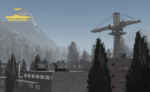
Generic British Port
The Generic British Port map in Roblox captures the look and feel of modern ports found across the United Kingdom. Featuring realistic layout and design, this environment reflects the industrial and maritime aesthetic of present-day British port facilities. Ideal for naval roleplay, logistics operations, or coastal missions, it provides a flexible and immersive setting for a variety of modern scenarios in your Roblox game.


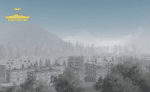
Weihaiwei, North East China Map
Weihaiwei or Wei-hia-wei, on the north-eastern coast of China, was a leased territory of the United Kingdom from 1898 until 1930. The capital was Port Edward, which lay in what is now the centre of Huancui District in the city of Weihai in the province of Shandong. The leased territory covered 288 square miles and included the walled city of Weihaiwei, Port Edward just to the north. Includes custom lighting to match the area.
Reviews
Clear filtersThere are no reviews yet.