


Related Products


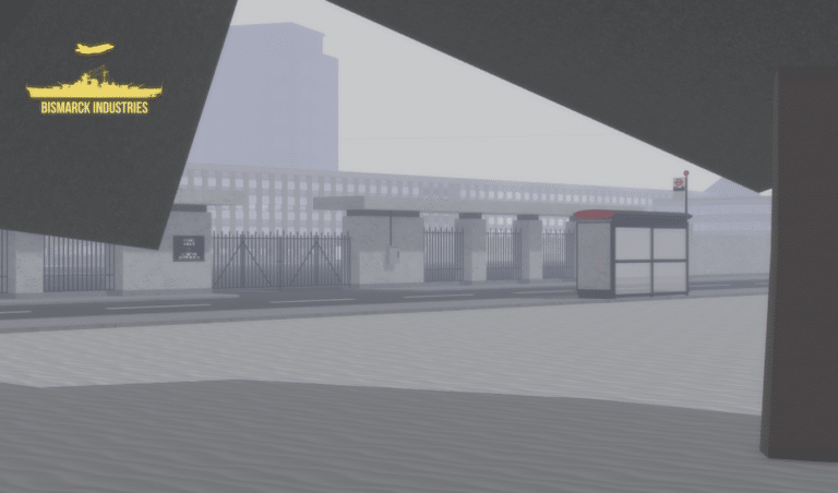
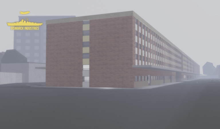
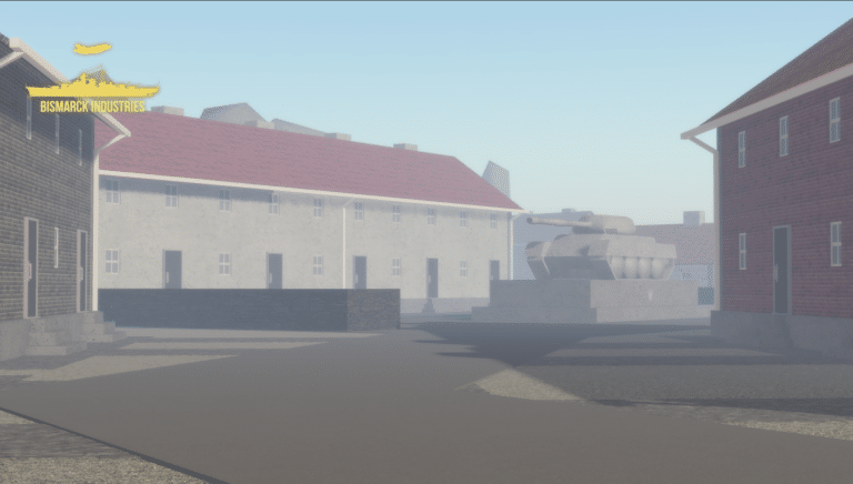


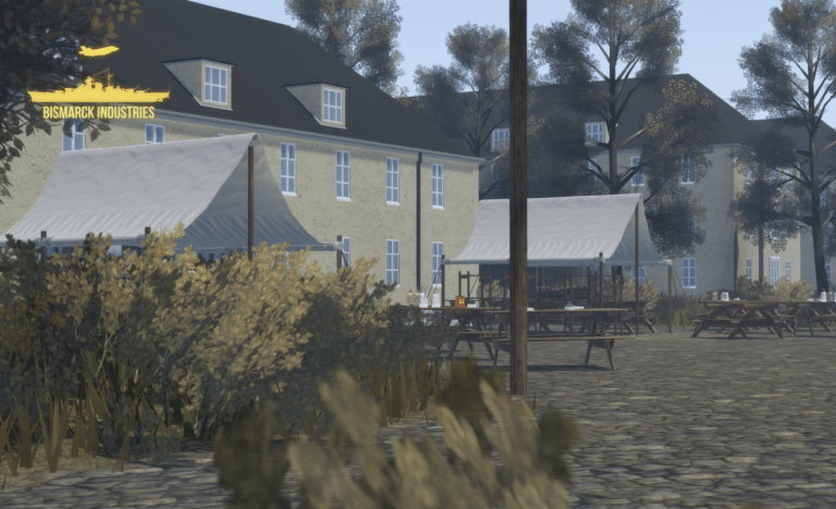
Wroclaw Headquarters Map
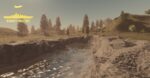
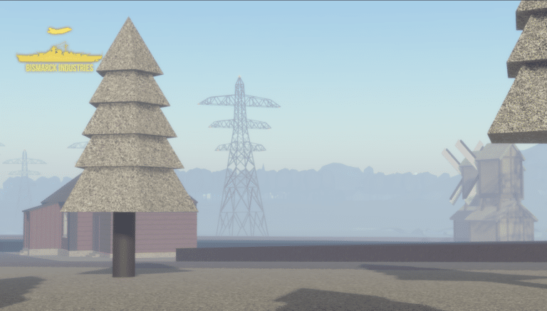
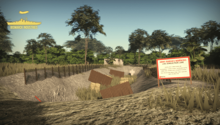
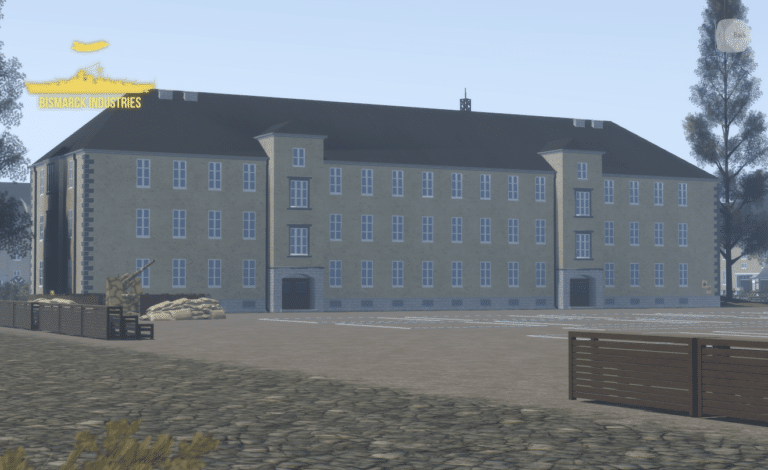
Wroclaw Headquarters 1943, located in Wroclaw is a fictional headquarters based off the German occupation of Poland from 1939 to 1945. This map provides a large array of features to any growing or current WW2 German roleplaying groups. Immerse yourself in the rich tapestry of history with this meticulously detailed map.
Reviews
Clear filtersThere are no reviews yet.