 1")
 2")
 3")
 4")


Related Products
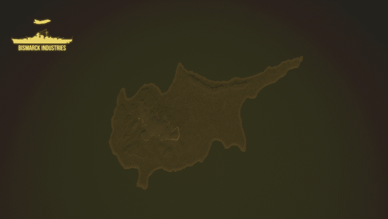
Cyprus Terrain Map
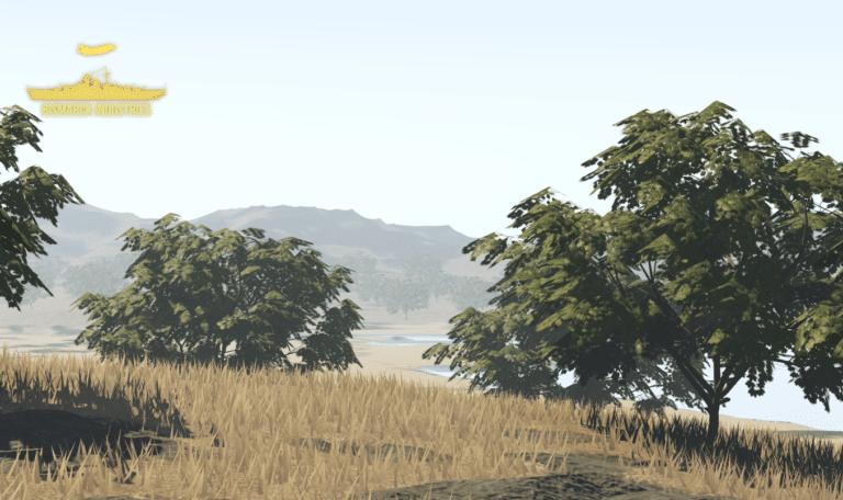
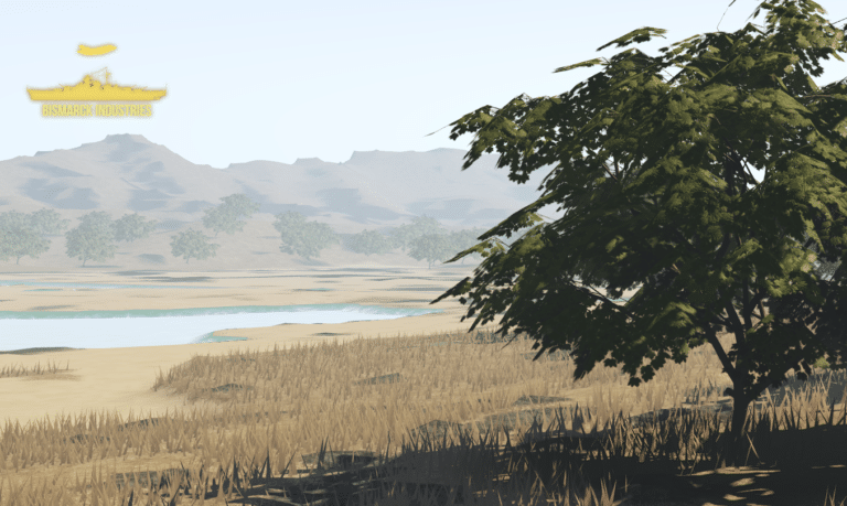
Cyprus is an island located in the eastern Mediterranean Sea. Its continental position is disputed; while it is geographically in Western Asia, its cultural ties and geopolitics are overwhelmingly Southern European. Cyprus is the third-largest and third-most populous island in the Mediterranean. This map is terrain plus decoration only and will need building upon, it is perfect for groups looking for good terrain to build a map upon or cyprus roleplay groups.


Estonia Deployment Map Bundle
The Estonian Republic consists of the mainland, the larger islands of Saaremaa and Hiiumaa, and over 2,200 other islands and islets on the eastern coast of the Baltic Sea, covering a total area of 45,339 square kilometres. The capital city Tallinn and Tartu are the two largest urban areas of the country. These maps are largely based off "Operation Cabrit" which is the name of the UK operational deployment to Estonia where British troops are leading a multinational battlegroup as part of the enhanced forward resistance to Russia.


Realistic Winter Map
Introducing our Realistic Winter Map – a stunning and immersive representation of a winter wonderland that captures the serene beauty and challenges of a snowy landscape. Whether you're an outdoor enthusiast, a game developer, or a creative designer, this map is your gateway to a breathtaking winter world.
Weihaiwei, North East China Map
Weihaiwei or Wei-hia-wei, on the north-eastern coast of China, was a leased territory of the United Kingdom from 1898 until 1930. The capital was Port Edward, which lay in what is now the centre of Huancui District in the city of Weihai in the province of Shandong. The leased territory covered 288 square miles and included the walled city of Weihaiwei, Port Edward just to the north. Includes custom lighting to match the area.
Reviews
Clear filtersThere are no reviews yet.