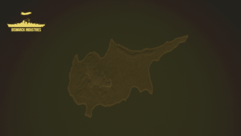
Kenya Deployment Map
£8.00
0
People watching this product now!
Payment Methods:

Description
The Kenya Deployment Map is a re-creation of British Army Training Unit Kenya otherwise known as ‘BATUK’ is a training support unit of the British Army located in Kenya. This map can be used as a deployment or training map and provides a variation of buildings, ranges, and terrain.
The map comes with the following:
– Vast training ground with river, targets and towns
– Ranges, and training blocks
– Barracks with blocks and hangars
– Map has room for expansion such as an airfield etc
– Variation of villages
Customer Reviews
Rated 0 out of 5
0 reviews
Rated 5 out of 5
0
Rated 4 out of 5
0
Rated 3 out of 5
0
Rated 2 out of 5
0
Rated 1 out of 5
0
Only logged in customers who have purchased this product may leave a review.
Related Products
Afternoon Realistic Lake Map
£4.99
Introducing our Afternoon Realistic Lake Map – a captivating and immersive depiction of a tranquil lakeside scene, bathed in the warm and inviting hues of a late afternoon sun. Whether you're an artist, photographer, nature lover, or designer, this map brings the serene beauty of a lakeside afternoon right to your fingertips.
Belize Deployment Map
£4.00
Chelsea Barracks, London
£3.00
Cyprus Terrain Map
£2.00
Rated 4.00 out of 5
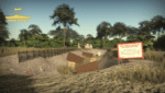
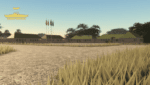
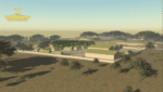
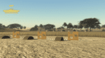
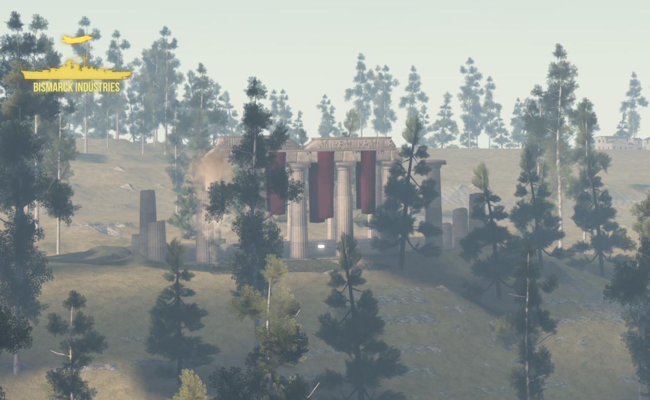
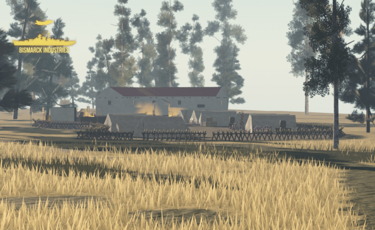
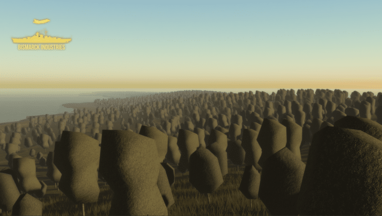
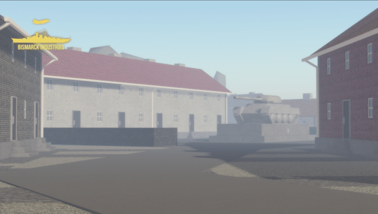
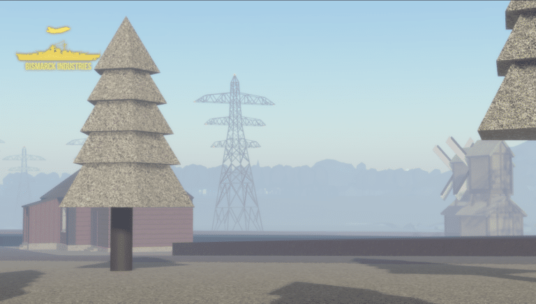
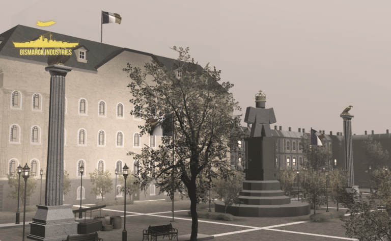
Cyprus is an island located in the eastern Mediterranean Sea. Its continental position is disputed; while it is geographically in Western Asia, its cultural ties and geopolitics are overwhelmingly Southern European. Cyprus is the third-largest and third-most populous island in the Mediterranean. This map is terrain plus decoration only and will need building upon, it is perfect for groups looking for good terrain to build a map upon or cyprus roleplay groups.
Fulwood Barracks, Lancashire
£8.00
Fulwood Barracks is a military installation at Fulwood in Preston, Lancashire, England. The barracks were built between 1842 and 1848 as a barracks, Fulwood currently holds the Duke of Lancasters Regiment. This map is fully set up for all your needs already and easy to begin milsims and roleplay!
Weihaiwei, North East China Map
£2.00
Weihaiwei or Wei-hia-wei, on the north-eastern coast of China, was a leased territory of the United Kingdom from 1898 until 1930. The capital was Port Edward, which lay in what is now the centre of Huancui District in the city of Weihai in the province of Shandong. The leased territory covered 288 square miles and included the walled city of Weihaiwei, Port Edward just to the north. Includes custom lighting to match the area.
Reviews
Clear filtersThere are no reviews yet.